Remote sensing has evolved to become a key tool for various fields of environmental analysis, thus actively informing policy across areas and domains. To evaluate the degree to which remote sensing is contributing to the science of ecologically-oriented urban planning, we carried out a systematic literature review using the SCOPUS database, searching for articles integrating knowledge in urban planning, remote sensing and ecology. We reviewed 186 articles, analysing various issues in urban environments worldwide. Key findings include that the level of integration between the three disciplines is limited, with only 12% of the papers fully integrating ecology, remote sensing and planning while 24% of the studies use specific methods from one domain only. The vast majority of studies is oriented towards contributing to the knowledge base or monitoring the impacts of existing policies. Few studies are directly policy relevant by either contributing to direct issues in planning and making specific design suggestions or evaluations. The accessibility of the scientific findings remains limited, as the majority of journal articles are not open access and proprietary software and data are frequently used. To overcome these issues, we suggest three future avenues for science as well as three potential entry points for remote sensing into applied urban planning. By doing so, remote sensing data could become a vital tool actively contributing to policies, civil engagement and concrete planning measures by providing independent and cost effective environmental analyses.
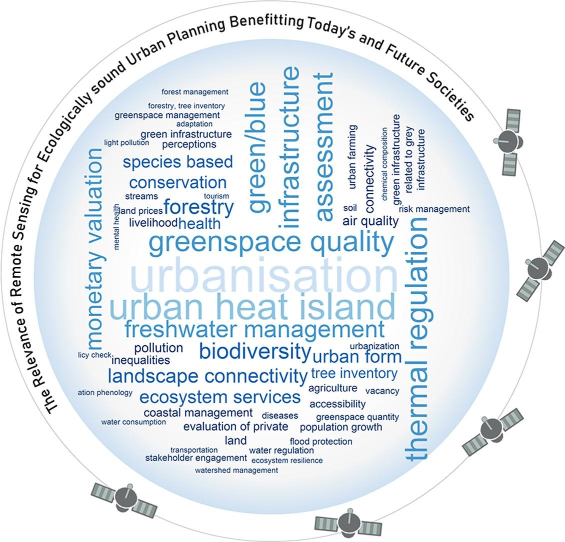
Graphical Abstract